 Hydrohistorian
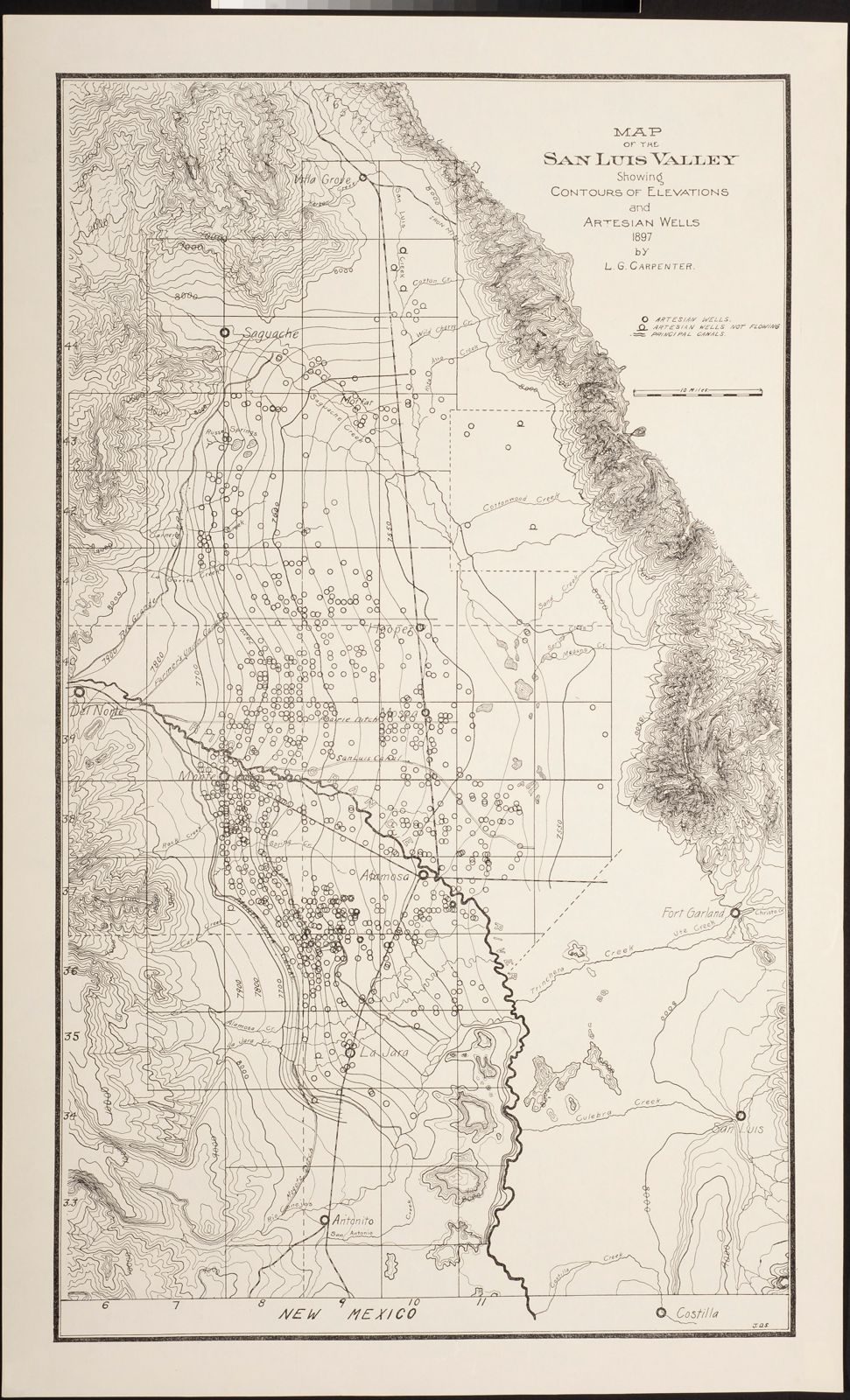
Map of the San Luis Valley showing contours of elevation and artesian wells, 1897
Water Resources Archive, Colorado State University · 1897 · Carpenter, L. G. (Louis George), 1861-1935, author
Groundwater Data Collection, Water Resources Archive, Colorado State University. Public domain. Archive record ↗ · Rights
Source Archival record · verify at Water Resources Archive, Colorado State University ↗ Source Probable join · The item's own place field names San Luis Valley, which is Division 3; the field does not narrow it to one water district. The archive gives the place as “San Luis Valley (Colo. and N.M.)”, which crosses a state line: the frame itself may be outside Colorado.
From the Groundwater Data Collection at Colorado State University, 1897. The archive's own record says this map is believed to be in the public domain.
Shows: What the archive catalogues as “Map of the San Luis Valley showing contours of elevation and artesian wells, 1897”. Place, as the archive gives it: San Luis Valley (Colo. and N.M.).
What this does not let you conclude: The catalogue's words are the archive's, and archives inherit their donors' errors: the date, the place and the names are what the record says, not what we checked. The item's own place field is blank; it sits under this division because of the collection it came from, not because the record names a place. Nothing here says what the structure or the right does today. The date is the archive's catalogue date, not a date read off the item.
Placed on
- Division 3 · gallery · our placement, by name and place