 Hydrohistorian
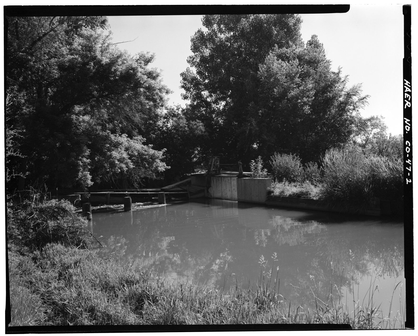
BRANTNER DITCH-LOWER CLEAR CREEK CANAL INTERSECTION Waste gate on the right; Lower Clear Creek Canal flowing in from the left - Brantner Ditch, South Platte River, Brighton
Library of Congress, via Wikimedia Commons · Documentation compiled after 1968 · Historic American Engineering Record
Historic American Engineering Record, Library of Congress, Prints & Photographs Division, HAER COLO,1-BRIG.V,2-2; via Wikimedia Commons No known restrictions on publication. Archive record ↗ · Rights
Source Archival record · verify at Library of Congress, via Wikimedia Commons ↗ Source Probable join · The catalogue names the Lower Clear Creek Canal, a Clear Creek (Water District 7) ditch, but the photograph was taken at its junction with Brantner Ditch near Brighton, in Water District 2.
Where the Lower Clear Creek Canal, having carried Clear Creek water east across the plain, joins Brantner Ditch near Brighton. The waste gate is on the right; the canal comes in from the left.
Shows: That Clear Creek water and South Platte water physically meet in one channel here -- the kind of junction the priority system has to account for.
What this does not let you conclude: Which way water was moving on the day, or how the two rights were being administered; the call record beside it does. HAER's compilation date; the photograph itself is undated in the record. The Library of Congress record is https://www.loc.gov/item/co0209/.
Placed on
- District d1_wd7_clear_creek · hero · our placement, by name and place
- District d1_wd2_south_platte_denver_gage_to_greeley · gallery · our placement, by name and place
- Division 1 · gallery
- Topic rights · gallery