 Hydrohistorian
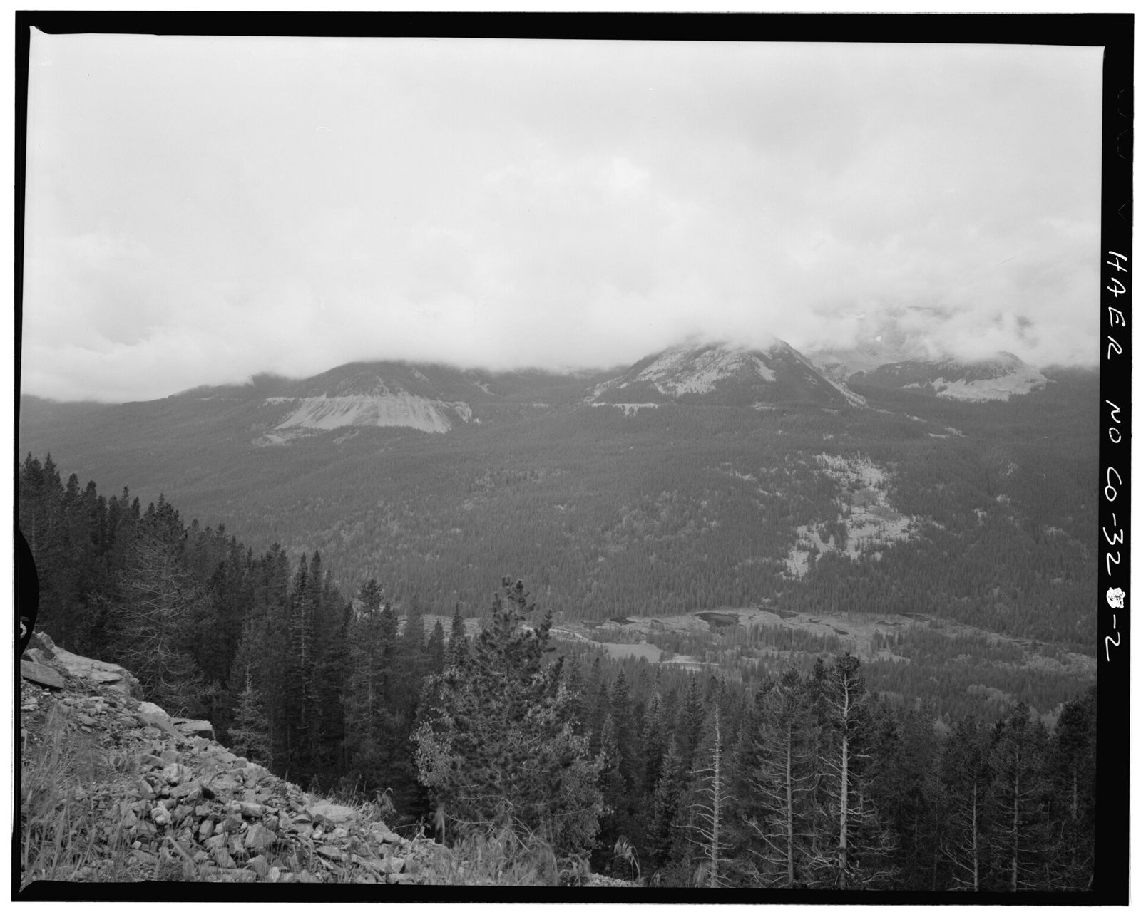
GRAND DITCH VIEW, FROM FARVIEW CURVE OVERLOOK, VIEWING WEST. DITCH IS INDICATED BY HORIZONTAL LINE NEAR TOP OF CLOUD COVERED PEAKS - Grand Ditch, Baker Creek to LaPoudre Pass
Library of Congress, via Wikimedia Commons · Documentation compiled after 1968 · Historic American Engineering Record
Historic American Engineering Record, Library of Congress, Prints & Photographs Division, HAER COLO,25-GRLK.V,2-2; via Wikimedia Commons No known restrictions on publication. Archive record ↗ · Rights
Source Archival record · verify at Library of Congress, via Wikimedia Commons ↗
From the Historic American Engineering Record's survey of Grand Ditch. The photographer's own caption is the title above.
Shows: Grand Ditch as the survey found it, in the frame the survey chose.
What this does not let you conclude: The structure's present condition, or how much water it carries today; the record beside it carries the numbers. HAER surveyed what was standing, not what was decreed. HAER's compilation date; the photograph itself is undated in the record.
Placed on
- District d5_wd51_upper_colorado_fraser_rivers · gallery
- Division 5 · gallery
- Topic rights · gallery