 Hydrohistorian
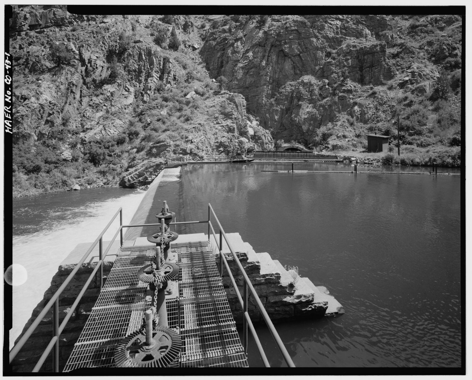
CANAL HEADGATE (RIGHT BACKGROUND) IN PLATTE RIVER CANYON, WITH DIVERSION DAM IN LEFT FOREGROUND. VIEW TO SOUTHWEST - High Line Canal, Mouth of South Platte River to confluence
Library of Congress, via Wikimedia Commons · Documentation compiled after 1968 · Historic American Engineering Record
Historic American Engineering Record, Library of Congress, Prints & Photographs Division, HAER COLO,16-DENV,64-1; via Wikimedia Commons No known restrictions on publication. Archive record ↗ · Rights
Source Archival record · verify at Library of Congress, via Wikimedia Commons ↗
From the Historic American Engineering Record's survey of High Line Canal. The photographer's own caption is the title above.
Shows: High Line Canal as the survey found it, in the frame the survey chose.
What this does not let you conclude: The structure's present condition, or how much water it carries today; the record beside it carries the numbers. HAER surveyed what was standing, not what was decreed. HAER's compilation date; the photograph itself is undated in the record.
Placed on
- District d1_wd8_south_platte_cheesman_to_denver_gage · gallery
- Division 1 · gallery