 Hydrohistorian
High Line Canal, Mouth of South Platte River to confluence with Second Creek, Denver, Denver County, CO
Library of Congress · Documentation compiled after 1968 · Historic American Engineering Record
Historic American Engineering Record, Library of Congress, Prints & Photographs Division, HAER COLO,16-DENV,64-1 No known restrictions on publication. Archive record ↗ · Rights
Source Archival record · verify at Library of Congress ↗
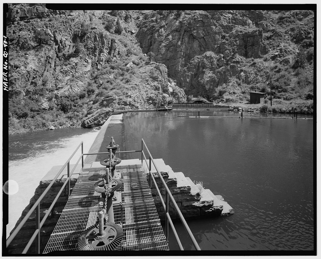
The High Line Canal's headworks in the canyon of the South Platte: the dam that pools the river, the gate gear on the walkway, and the tunnel mouth where the canal begins its 71-mile run.
Shows: The canyon setting and the gate machinery of the first major irrigation project on the Front Range.
What this does not let you conclude: Present operation -- the canal now runs largely as a recreational trail, and the record beside it shows what is actually diverted. HAER's compilation date; the photograph itself is undated in the record. Photograph 1 of 12 in survey HAER CO-43.
Placed on
- Division 1 · gallery
- District d1_wd8_south_platte_cheesman_to_denver_gage · hero · our placement, by name and place