 Hydrohistorian
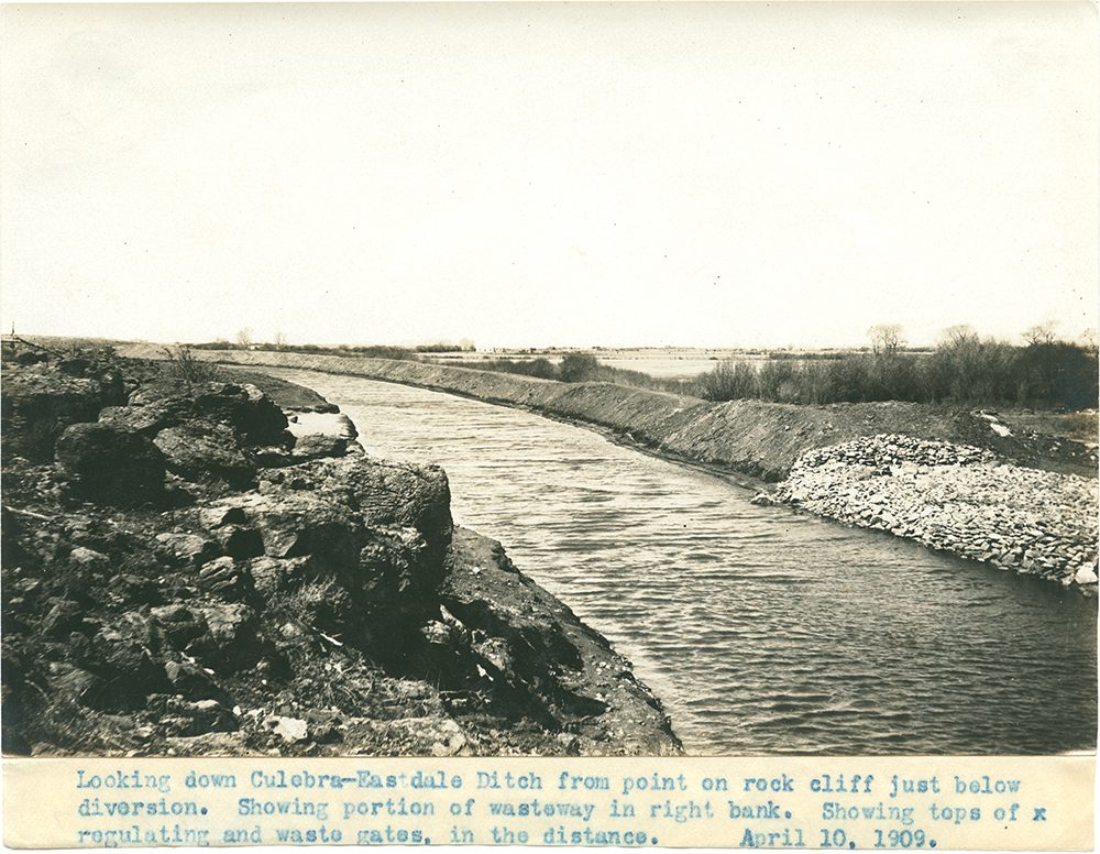
Looking down Culebra-Eastdale Ditch from point on rock cliff just below diversion.
SMU Libraries, DeGolyer Library, via Wikimedia Commons · April 10, 1909 · Unknown photographer; SMU Libraries, DeGolyer Library
SMU Libraries, DeGolyer Library, via Flickr Commons (no known copyright restrictions) and Wikimedia Commons No known restrictions on publication. Archive record ↗ · Rights
Source Archival record · verify at SMU Libraries, DeGolyer Library, via Wikimedia Commons ↗
The Culebra-Eastdale Ditch in the San Luis Valley in April 1909, a week or two after water was turned in, photographed from the rock above its diversion. The typed strip below the print is the original caption.
Shows: The canal's size and construction as built, and the wasteway in its right bank.
What this does not let you conclude: Whether the ditch still runs as it did; Eastdale was one of the valley's failed reservoir schemes, and the record beside it says what is diverted now. The date is typed on the print's caption strip.
Placed on
- Division 3 · hero
- Topic rights · gallery