 Hydrohistorian
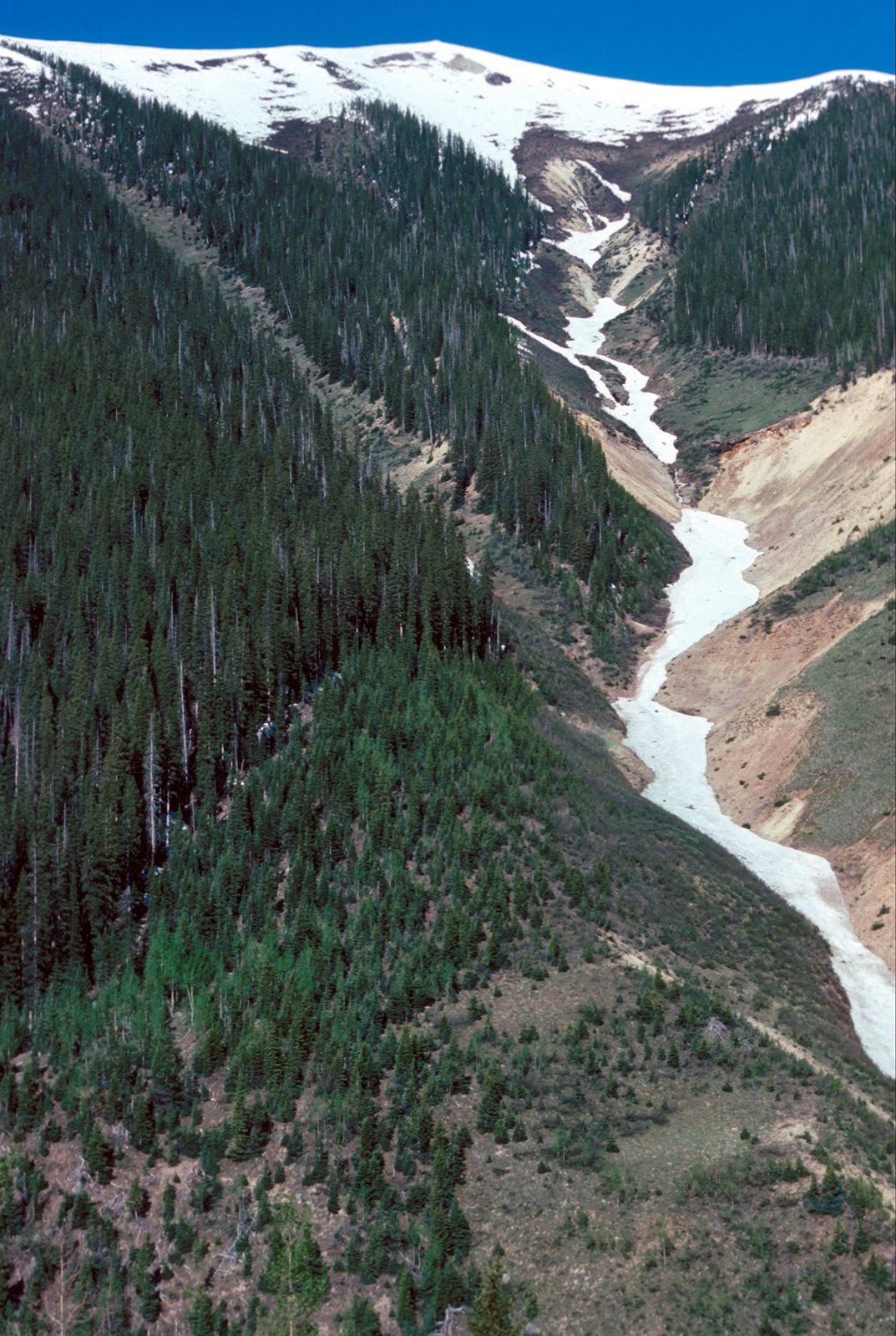
Battleship avalanche path along Highway 550 north of Silverton. San Juan Mountains, Colorado.
U.S. Geological Survey · 1975-07-02 · U.S. Geological Survey
U.S. Geological Survey, USGS Library Photographic Collection U.S. government work; public domain. Archive record ↗ · Rights
Source Archival record · verify at U.S. Geological Survey ↗
The Battleship avalanche path along Highway 550 north of Silverton, photographed on the 2nd of July 1975. In summer the path reads more plainly than in winter, because what records it is the forest's trimline.
Shows: The mark an avalanche path leaves on a forest, visible with the snow gone.
What this does not let you conclude: An avalanche. Nothing was running on this July day; the evidence in the frame is the absence of trees.
Placed on
- Topic snow · gallery