 Hydrohistorian
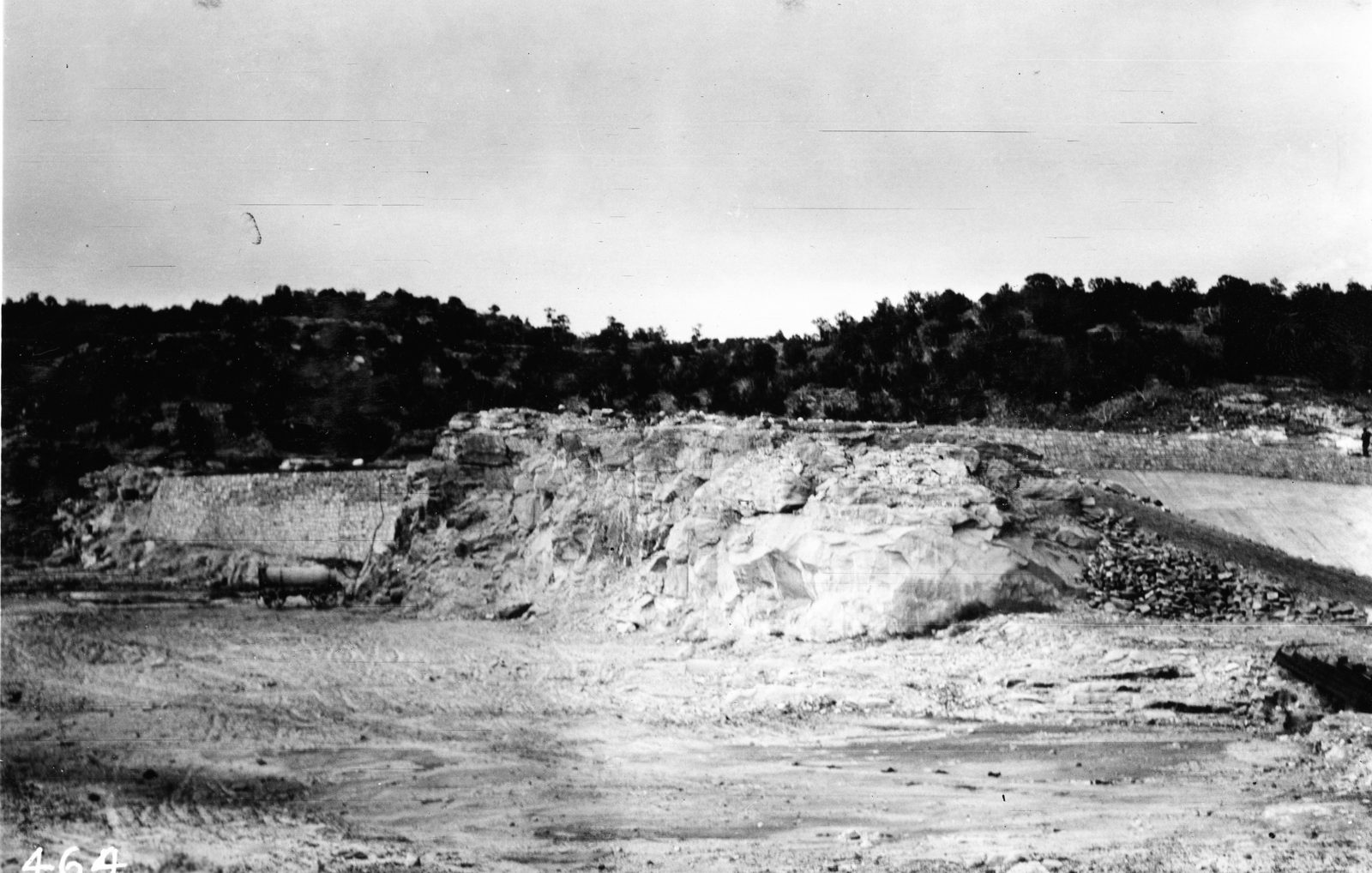
Shows the spillway of the Cuchara Reservoir. Huerfano County, Colorado. n.d.
U.S. Geological Survey · undated · La Rue, E.C.
U.S. Geological Survey, USGS Library Photographic Collection U.S. government work; public domain. Archive record ↗ · Rights
Source Archival record · verify at U.S. Geological Survey ↗
The spillway of the Cuchara Reservoir, "a portion of the Cuchara Dam is show at right in picture" -- La Rue's companion frame to his view of the dam itself, with his typo kept as the record has it.
Shows: Where the reservoir was built to overflow, and the rock the channel was cut into.
What this does not let you conclude: The spillway working, or its capacity. It is dry in the frame and no rating accompanies the plate. "n.d." in the record, as with its companion frame of the dam.
Placed on
- County huerfano · gallery
- Topic storage · gallery