 Hydrohistorian
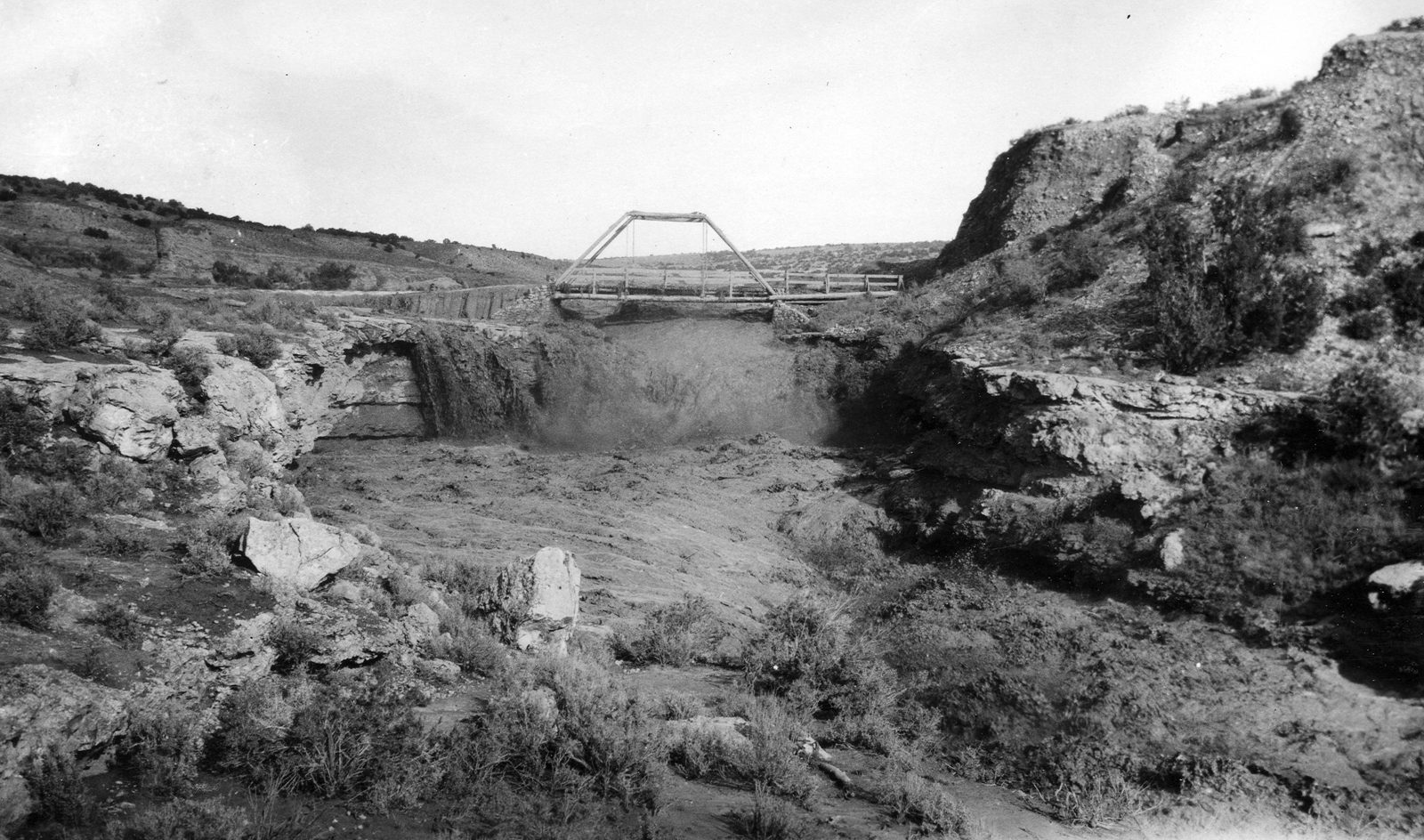
Flood on Vermilion Creek. Moffat County, Colorado. 1926.
U.S. Geological Survey · 1926 · U.S. Geological Survey
U.S. Geological Survey, USGS Library Photographic Collection U.S. government work; public domain. Archive record ↗ · Rights
Source Archival record · verify at U.S. Geological Survey ↗
A July flood on Vermilion Creek in the far north-west corner of the state, squeezing through a slot in Browns Park sandstone. Most of the year this channel carries almost nothing, which is the whole character of the plateau streams.
Shows: A flash flood in a dry-country creek, dated to the day by the Survey.
What this does not let you conclude: A discharge. Nothing here was gaged; the Survey was photographing the gorge. 8 July 1926, southeast of Ladore Post Office; the gorge is cut in Browns Park sandstone.
Placed on
- Topic trends · plate
- County moffat · gallery
The archive’s record page
The archive’s record did not answer our check on 2026-10-12 (refused automated check, HTTP 403). Our copy above is unaffected; the credit stands. A person will look.