 Hydrohistorian
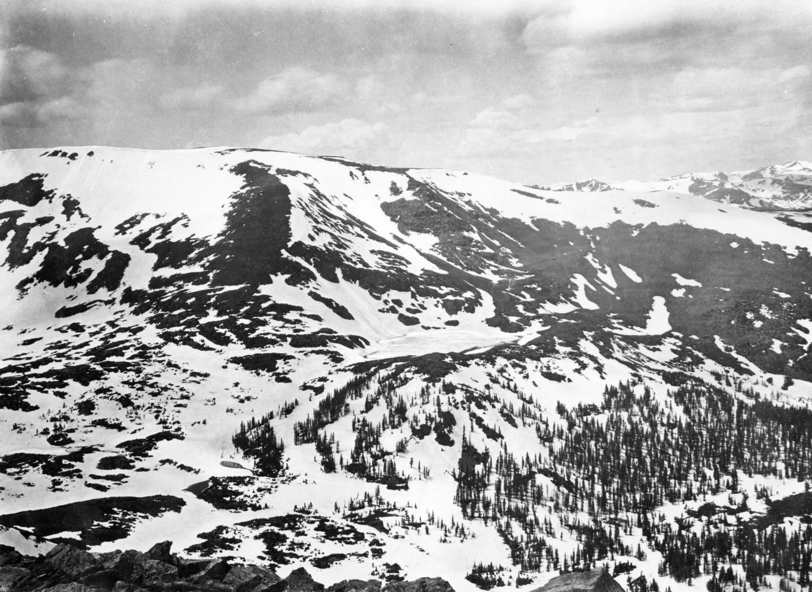
James Peak and the range northward, showing a deep, snow-filled valley and numerous lakes. Grand and Clear Creek Counties, Colorado. 1873.
U.S. Geological Survey · 1873 · Jackson, W.H.
U.S. Geological Survey, USGS Library Photographic Collection U.S. government work; public domain. Archive record ↗ · Rights
Source Archival record · verify at U.S. Geological Survey ↗
James Peak and the range northward in 1873. The trail leading up at the right is the one from South Boulder over to Middle Park -- James Pass -- and the snow-filled valley in the middle of the frame is the Divide's own storage.
Shows: Snow held high on the Continental Divide in summer, and the passes that had to cross it.
What this does not let you conclude: Any quantity. There was no snow course here for another fifty years, and the percentages beside this plate are today's, measured by telemetry.
Placed on
- County grand · gallery
- County clear-creek · gallery
- Topic snow · gallery