 Hydrohistorian
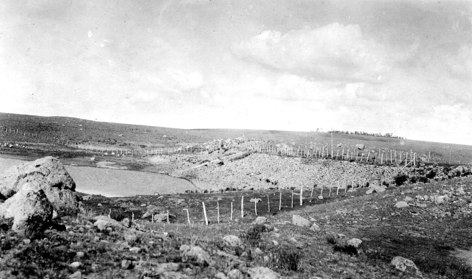
La Jara Reservoir dam. Conejos County, Colorado.
U.S. Geological Survey · 1918 · U.S. Geological Survey
U.S. Geological Survey, USGS Library Photographic Collection U.S. government work; public domain. Archive record ↗ · Rights
Source Archival record · verify at U.S. Geological Survey ↗
La Jara Reservoir's dam in 1918: a rock-fill embankment on the high plateau west of the San Luis Valley, holding a shallow lake behind it.
Shows: The dam as a rock-fill structure of modest height, and the open country it sits in.
What this does not let you conclude: Present storage or the dam's safety rating; the reservoir's dossier carries DWR's record and the dam-safety card.
Placed on
- Division 3 · gallery
- Topic storage · gallery