 Hydrohistorian
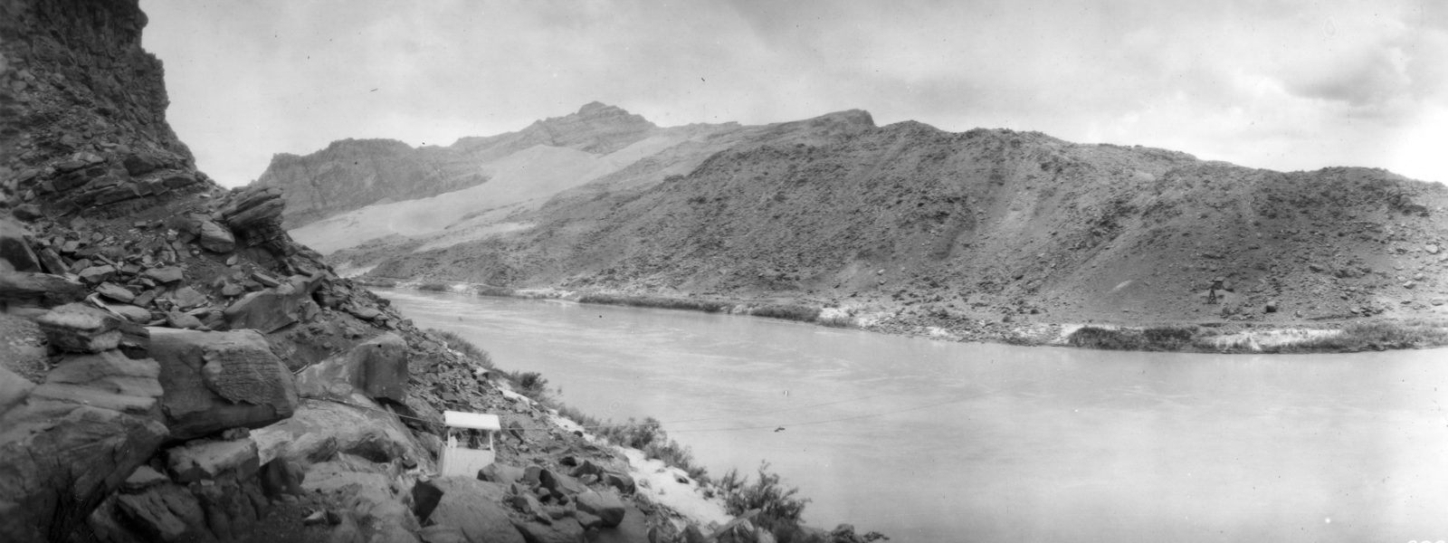
Lees Ferry gaging station, Coconino County, Arizona. 1921.
U.S. Geological Survey · 1921 · U.S. Geological Survey
U.S. Geological Survey, USGS Library Photographic Collection U.S. government work; public domain. Archive record ↗ · Rights
Source Archival record · verify at U.S. Geological Survey ↗
The gaging station at Lee's Ferry, photographed a year before the Colorado River Compact was signed. This is the point the Compact divides the river at, and the shed on the bank is where the number that settles it comes from.
Shows: The measuring point an interstate agreement was about to be built on, as it stood in 1921.
What this does not let you conclude: Any obligation or any delivery. Our compacts pages carry what each agreement says; this is the instrument shelter it is argued over. 4 August 1921. The album caption notes the ferry cable car at the left of the frame.
Placed on
- Topic compacts · hero
- Topic trends · plate
The archive’s record page
The archive’s record did not answer our check on 2026-10-12 (refused automated check, HTTP 403). Our copy above is unaffected; the credit stands. A person will look.