 Hydrohistorian
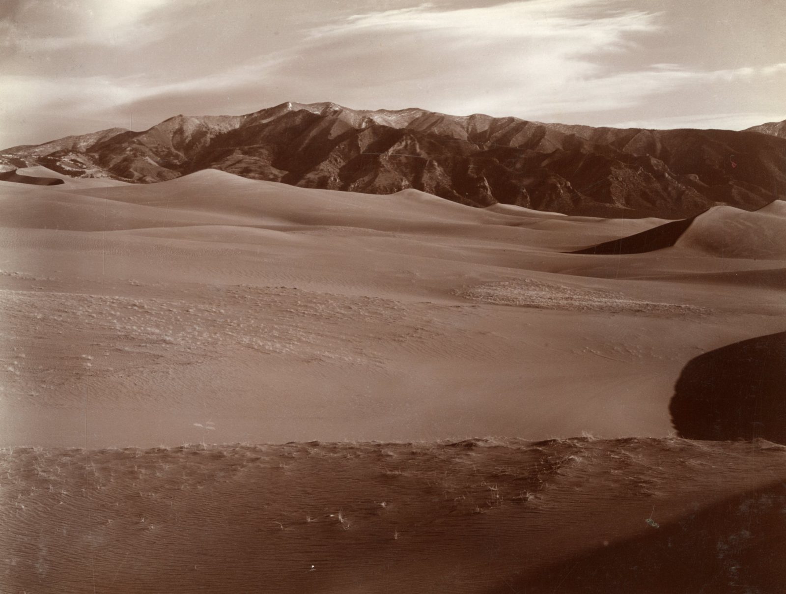
Typical sand dune on Medano Ranch, San Luis Valley. Alamosa County, Colorado. 1910.
U.S. Geological Survey · 1903 · Siebenthal, C.E.
U.S. Geological Survey, USGS Library Photographic Collection U.S. government work; public domain. Archive record ↗ · Rights
Source Archival record · verify at U.S. Geological Survey ↗
One frame of a two-frame panorama of the dunes on Medano Ranch, made for Water-Supply Paper 240. This is the San Luis Valley's own sand: the wind carries it across the valley floor and piles it against the Sangre de Cristos.
Shows: Wind-moved sand on the floor of an irrigated valley, and how little holds it in place.
What this does not let you conclude: Anything about the aquifer under it, or the valley's water table. The San Luis Valley's groundwater record is DWR's and it begins long after this exposure. The panorama's other half is catalogued separately and is not published here. The title reads 1910. The item's own index card and album caption both read 1903, and so does the other half of the panorama this is one frame of. We follow the index card, and the title stays as the library wrote it.
Placed on
- County alamosa · gallery
- Topic drought · gallery