 Hydrohistorian
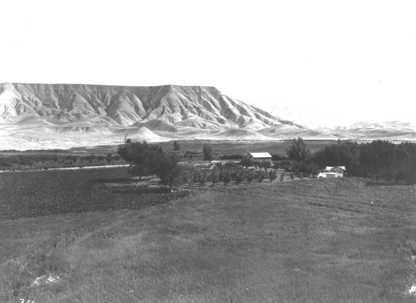
Uncompahgre Irrigation Project, serving the Albin Ranch. Southwest Colorado. n.d.
U.S. Geological Survey · n.d. · U.S. Geological Survey
U.S. Geological Survey, USGS Library Photographic Collection U.S. government work; public domain. Archive record ↗ · Rights
Source Archival record · verify at U.S. Geological Survey ↗
A ranch under the Uncompahgre Project: orchard and ploughed ground in the valley, and the dry adobe hills behind that show what the same land looks like without the water.
Shows: The contrast the project was built to make -- irrigated ground against the Mancos shale hills.
What this does not let you conclude: The date, the exact ranch, or which lateral serves it. Undated in the USGS record; the collection spans 1879-1979.
Placed on
- Division 4 · gallery